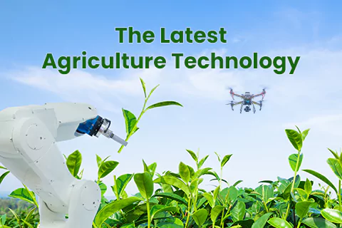
The ongoing relentless development of nature is demanding an innovative and comprehensive approach to balance between human progress and sustainability. This is where Geographic Information Systems (GIS) comes into play by proving to be a potent planning tool. It is a crucial component of conservation efforts around the world as it helps to collect, analyse, and display massive amounts of data. GIS integrated with cutting-edge Remote Sensing(RS) technologies unlocks enormous applications in the environmental sector. It also steers us towards informed decision-making and navigating development challenges while preserving the environment. GIS technologies are being used everywhere. So, let’s take a look at some of the evolving trends and innovations of GIS. Recently, GIS technology has advanced a lot, and how it processes data has become more efficient.
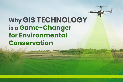
Significance of GIS in Environment Preservation
GIS is one of the dynamic tools that assist companies to collect, process, and analyse information. Thus, organisations are able to easily update their resource management plans by saving costs. In fact, most of the research agencies use GIS technology to manage the project accordingly.
Know About the GIS technologies
Wondering What are GIS technologies? Here’s the answer:
- Artificial Intelligence and Machine Learning: These technologies assist in improving the current world situation by creating a more potential and sustainable future. It provides GIS professionals with data management and analysis.
- Self-Driving Vehicles: In automatic vehicles, GIS is integrated into the functioning of cameras, maps, GPS, and sensors. It also lets the user get the real-time scenario of the situation and make the right decisions.
- Geospatial AI: Geospatial AI automatically recognises patterns and forecasts future events related to specific areas. Environmental monitoring utilizes this technology to track changes in ecosystems, optimize infrastructure development, evaluate the effects of natural disasters, and efficiently coordinate relief activities.
- GIS in the Cloud: Through scalability, service providers can offer GIS features to access private instances of the cloud environment. This well-organised strategy enables the cost-effective delivery of GIS services.
Understanding the uses of GIS in Conservation Biology
The major impact of habitat loss and fragmentation is on wildlife species. Humans are continually trying to change the environment, underestimating the loss of species extension globally for a long time. This may be because of insufficient species conservation methods available to us. But scientists are accelerating their efforts and bringing the lost species diversity in various ways.
Using GIS Technologies to Forecast Wildlife Movement
Highway construction across habitats frequently restricts the free movement of animals such as deer, elephants, and bears. The continuous running of vehicles on those highways also causes accidents which ultimately cause the loss of humans as well as wildlife. So, another GIS software can be used to locate workable solutions by creating suitability maps identifying the crossing points.
Observing the Progress of Conservation Efforts
GIS can be used to outline and create conservation targets for specific places. It also helps to track these actions’ development over time. As we know, it is critical to design and develop our own town and maintain a natural space for a sustainable and healthy environment. Here GIS aids in monitoring the current scenario of an area and forecasting the future requirement.
Maintain Species Populations and Distribution
Geographic Information Systems (GIS) are stepping up to preserve our unprotected environment and accommodate a growing population, even amidst development projects like golf courses. The invasion of species can be studied by stimulating the population rate increase day by day and showing the distribution of species data over time.
Now that you know the transformative impact of GIS technology on our environment, it makes sense that they are driving the forces and changing the world in better ways. The introduction of modern technology and innovations has led a path towards enhancing our lives and offering convenience. It also opens up new opportunities in the market, including educational institutions, healthcare, and many more,